Earth System NOAA Ocean Explorer
NOAA World Ocean Atlas 2005
NOAA Satellite Imagery
USGS Earthshots
NASA Earth from Space
NASA Earth Observatory
ASTER Satellite Picture Gallery
The World Factbook 2007
Atmospheric Information Latest Surface Weather Map
U.S. - Data
US Climatology
Radar & Fronts
Radar Animation
IPCC - Climate
Water Vapor (WV) Satellite
Latest WV Animation
Precipitable Water
Infrared (IR) Satellite
Latest IR Animation
500 mb-Contours/Isotherms/Data
Infrared Surface Temperature Application - (Java script)
TRMM Tropical Rainfall
Oceanic (and Inland Seas) Information USGODAE Profilers
Coriolis Profilers
ARGO Float Profilers
Sea Surface Temperatures
Great Lakes observations
Pacific ENSO Conditions
NOAA Atlantic Basin Nowcasts/Forecasts (temperatures, salinity, heights, currents)
Gulf Stream Temperatures
Gulf Stream Current
North Atlantic Salinity
Ocean "Color" (Productivity)
Tides (Water Levels)
Ocean Waves
Global Ice Extent
Buoy Data
Great Lakes Water Data
Terrestrial Information Surf Your Watershed
NWS River Forecast Centers
Realtime Water Conditions
National Streamflow
River Flood Conditions
Soil Moisture
Groundwater Atlas of the US
World River Discharge
Hydrological Remote Sensing Center
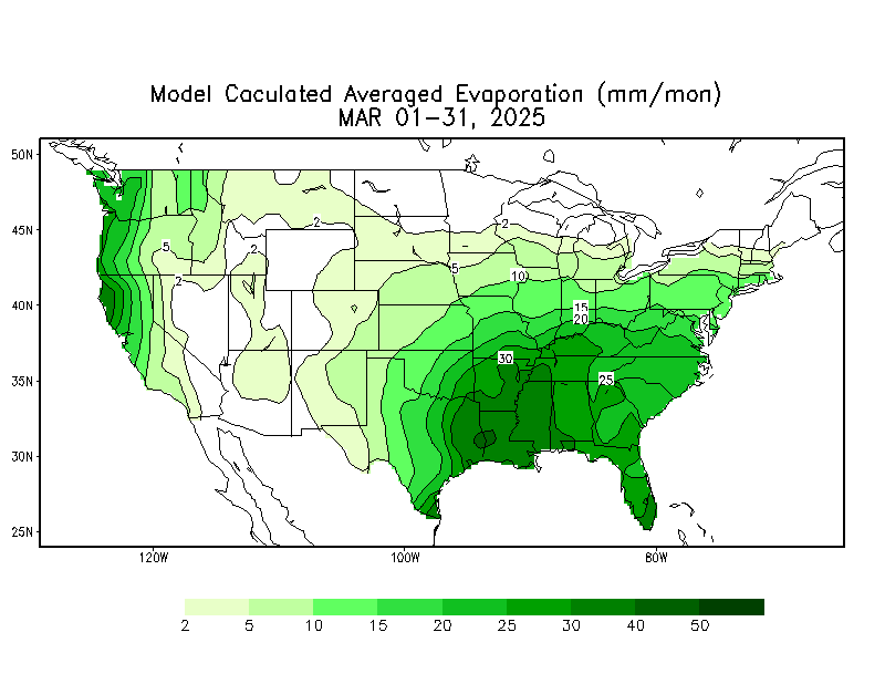
Evaporation Estimate
Drought Conditions Map
Snow Cover
Snowfall and Snow Depth
Water Equivalent of Snowpack
Physical & Chemical NOAA CoastWatch
NOAA Atlantic Basin Nowcasts/Forecasts
(temperatures, salinity, heights, currents)
Gulf Stream Current
USGODAE profilers
Coriolis profilers
ARGO Float Profilers
Tides (Water Levels)
Buoy Data
NOAA Model Wave Heights
Sea Surface Temperatures
Global Ice Extent
Ocean surface currents - HYCOM
Sea Surface Heights
Coastal Water Temperatures
Oceanweather_ Marine Data/Obs.
Geological Acoustic Ocean Seismicity
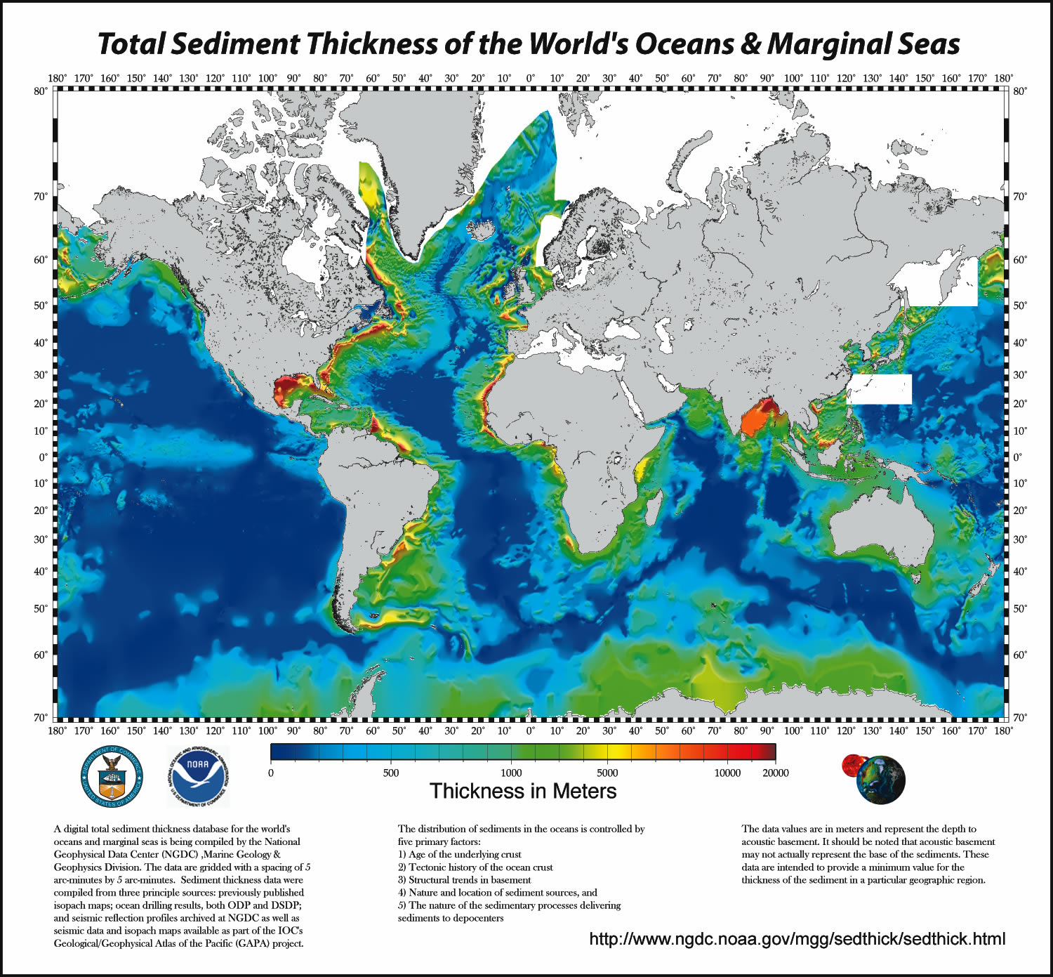
Sediment Thickness
Current Earthquake Activity
Current Volcanic Activity
Tsunami
Bathymetry
USGS Coastal and Marine Geology
Biological Ocean "Color" (Productivity)
Est. Global Primary Production
Harmful Algal Blooms
Chesapeake Bay Phytoplankton
NOAA Fisheries
Fish Database
Coral Reefs
Tropical Coral Bleaching Indices
Coral Reefs Status
Nutrient Distributions
Chemosynthetic Organisms
Atmosphere/Ocean Interaction NCEP Ocean Prediction Center
Pacific ENSO Conditions
TRMM Tropical Rainfall
Water Vapor (WV) Satellite
Latest WV Animation
NOAA GOES Homepage
Infrared (IR) Satellite
Latest IR Animation
NASA GOES Homepage
Infrared Surface Temperature Application - (Java script)
US Climatology
Great Lakes Great Lakes observations
Water Level
Forecaster
Great Lakes Buoy Data: Western Lakes, Eastern Lakes
Bathymetry
NOAA World Ocean Atlas 2005
NOAA Satellite Imagery
USGS Earthshots
NASA Earth from Space
NASA Earth Observatory
ASTER Satellite Picture Gallery
The World Factbook 2007
Atmospheric Information Latest Surface Weather Map
U.S. - Data
US Climatology
Radar & Fronts
Radar Animation
IPCC - Climate
Water Vapor (WV) Satellite
Latest WV Animation
Precipitable Water
Infrared (IR) Satellite
Latest IR Animation
500 mb-Contours/Isotherms/Data
Infrared Surface Temperature Application - (Java script)
TRMM Tropical Rainfall
Oceanic (and Inland Seas) Information USGODAE Profilers
Coriolis Profilers
ARGO Float Profilers
Sea Surface Temperatures
Great Lakes observations
Pacific ENSO Conditions
NOAA Atlantic Basin Nowcasts/Forecasts (temperatures, salinity, heights, currents)
Gulf Stream Temperatures
Gulf Stream Current
North Atlantic Salinity
Ocean "Color" (Productivity)
Tides (Water Levels)
Ocean Waves
Global Ice Extent
Buoy Data
Great Lakes Water Data
Terrestrial Information Surf Your Watershed
NWS River Forecast Centers
Realtime Water Conditions
National Streamflow
River Flood Conditions
Soil Moisture
Groundwater Atlas of the US
World River Discharge
Hydrological Remote Sensing Center
Evaporation Estimate
Drought Conditions Map
Snow Cover
Snowfall and Snow Depth
Water Equivalent of Snowpack
Physical & Chemical NOAA CoastWatch
NOAA Atlantic Basin Nowcasts/Forecasts
(temperatures, salinity, heights, currents)
Gulf Stream Current
USGODAE profilers
Coriolis profilers
ARGO Float Profilers
Tides (Water Levels)
Buoy Data
NOAA Model Wave Heights
Sea Surface Temperatures
Global Ice Extent
Ocean surface currents - HYCOM
Sea Surface Heights
Coastal Water Temperatures
Oceanweather_ Marine Data/Obs.
Geological Acoustic Ocean Seismicity
Sediment Thickness
Current Earthquake Activity
Current Volcanic Activity
Tsunami
Bathymetry
USGS Coastal and Marine Geology
Biological Ocean "Color" (Productivity)
Est. Global Primary Production
Harmful Algal Blooms
Chesapeake Bay Phytoplankton
NOAA Fisheries
Fish Database
Coral Reefs
Tropical Coral Bleaching Indices
Coral Reefs Status
Nutrient Distributions
Chemosynthetic Organisms
Atmosphere/Ocean Interaction NCEP Ocean Prediction Center
Pacific ENSO Conditions
TRMM Tropical Rainfall
Water Vapor (WV) Satellite
Latest WV Animation
NOAA GOES Homepage
Infrared (IR) Satellite
Latest IR Animation
NASA GOES Homepage
Infrared Surface Temperature Application - (Java script)
US Climatology
Great Lakes Great Lakes observations
Water Level
Forecaster
Great Lakes Buoy Data: Western Lakes, Eastern Lakes
Bathymetry
